A named public garden at the center
A curated, labeled, interpreted botanical garden of plants native to the Leaf River basin — pitcher plants, longleaf pine, bald cypress, tupelo, magnolia — a destination in its own right.
A Concept for the Petal Riverfront
Seventy acres of City of Petal–owned land along the Leaf River — a public botanical garden of native plants at its center, canopy streets around it, a walkable village, and homes for every stage of life.
Where this is
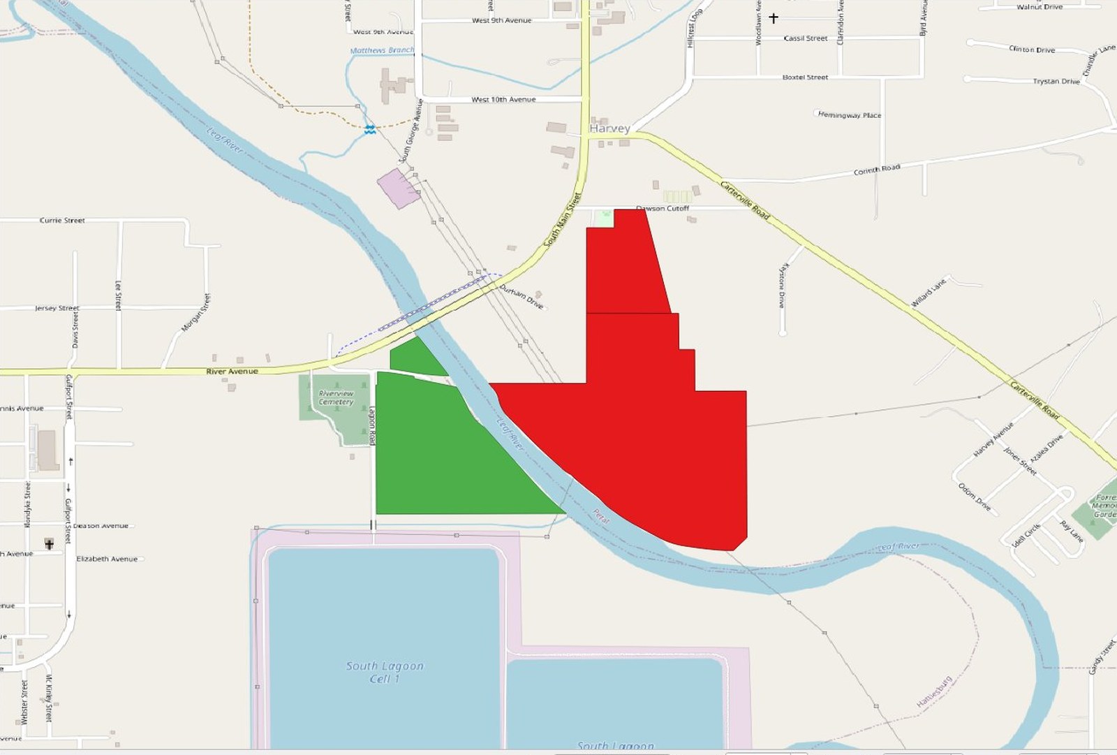
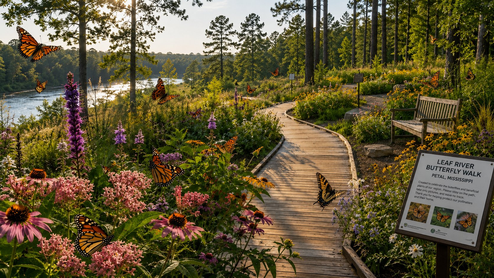
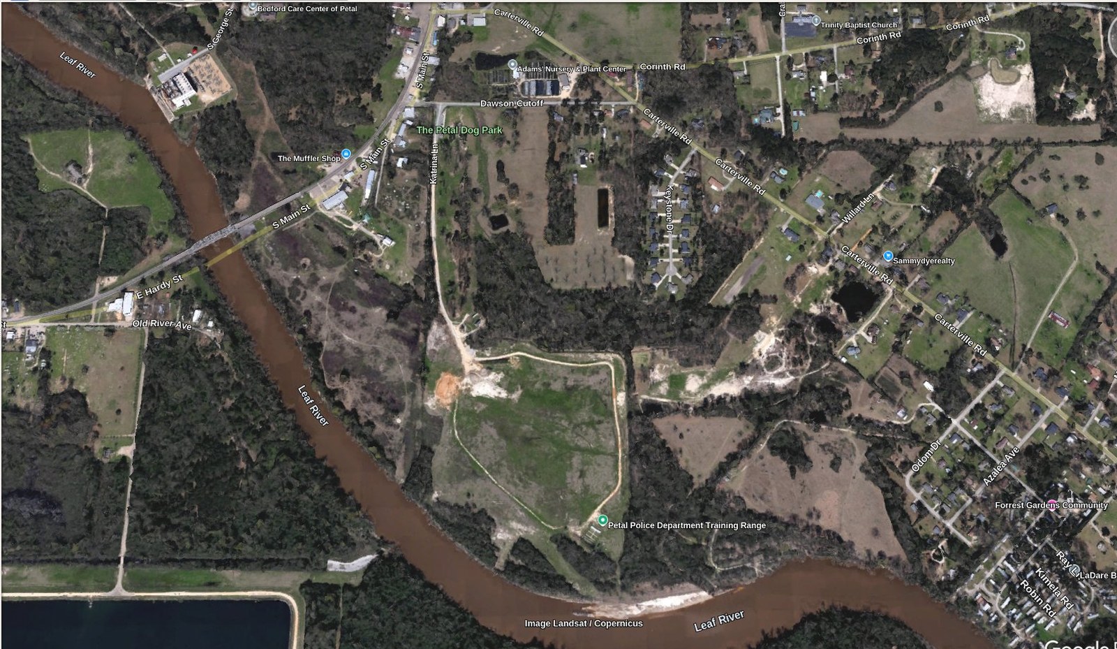
What follows is a set of conceptual illustrations — early sketches of what could go on the property. They are concept pieces, not site plans.
The concept, in pictures
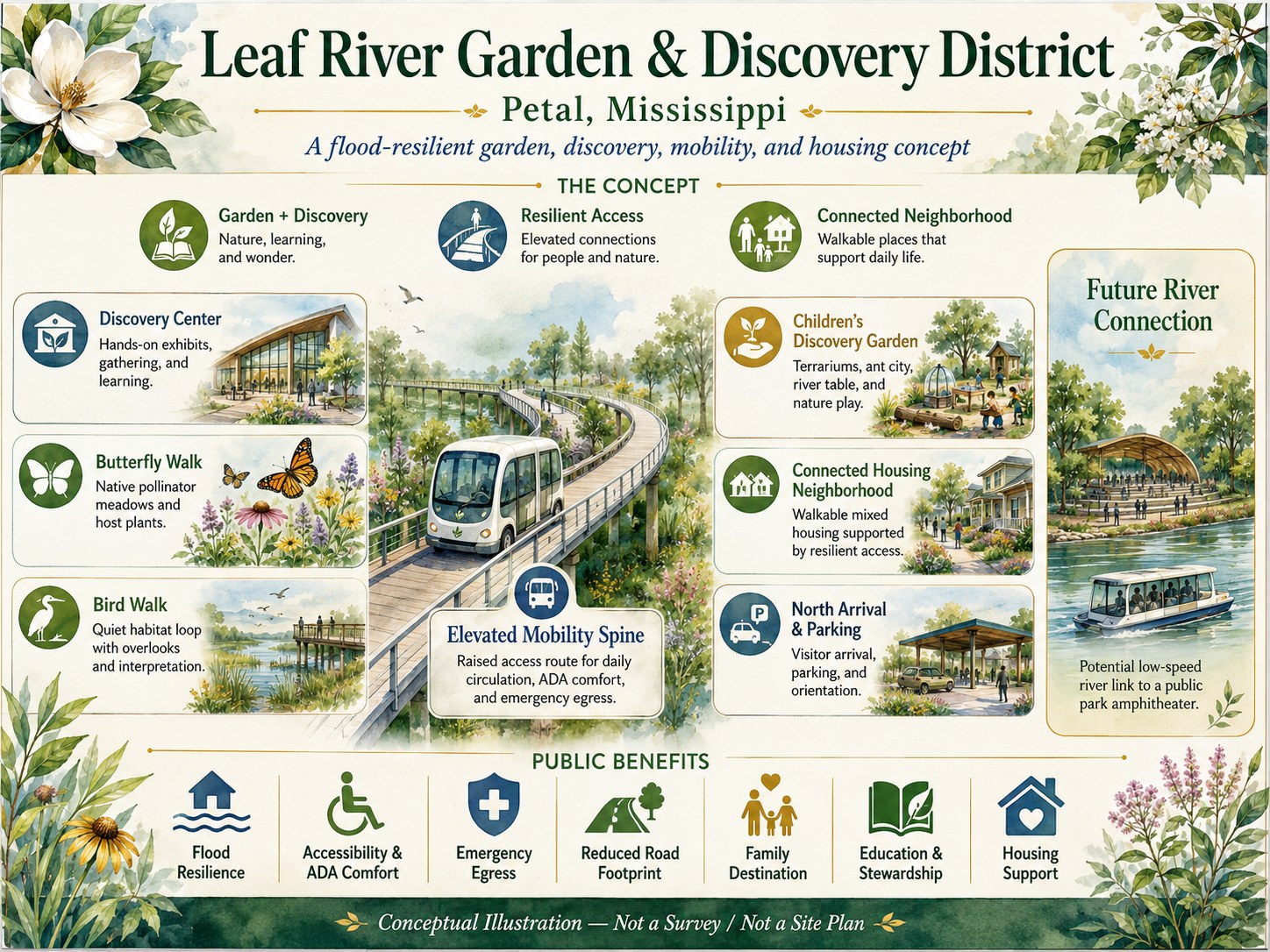
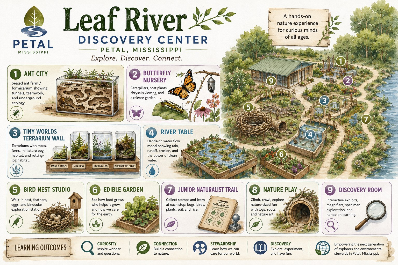
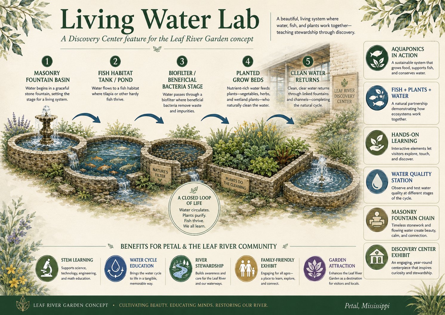
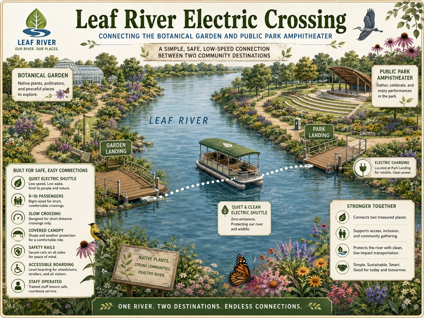
Conceptual illustrations — not surveys, not site plans.
A possible layout
A cartoon — in the planning sense — is the rough layout sketch that comes before the engineered drawings. Nothing here is surveyed or engineered. Boundary, roads, and program are all illustrative. Final placement belongs to the site planner; what fits is listed alongside.
Site plan cartoon · engineered plans to follow.
The Place
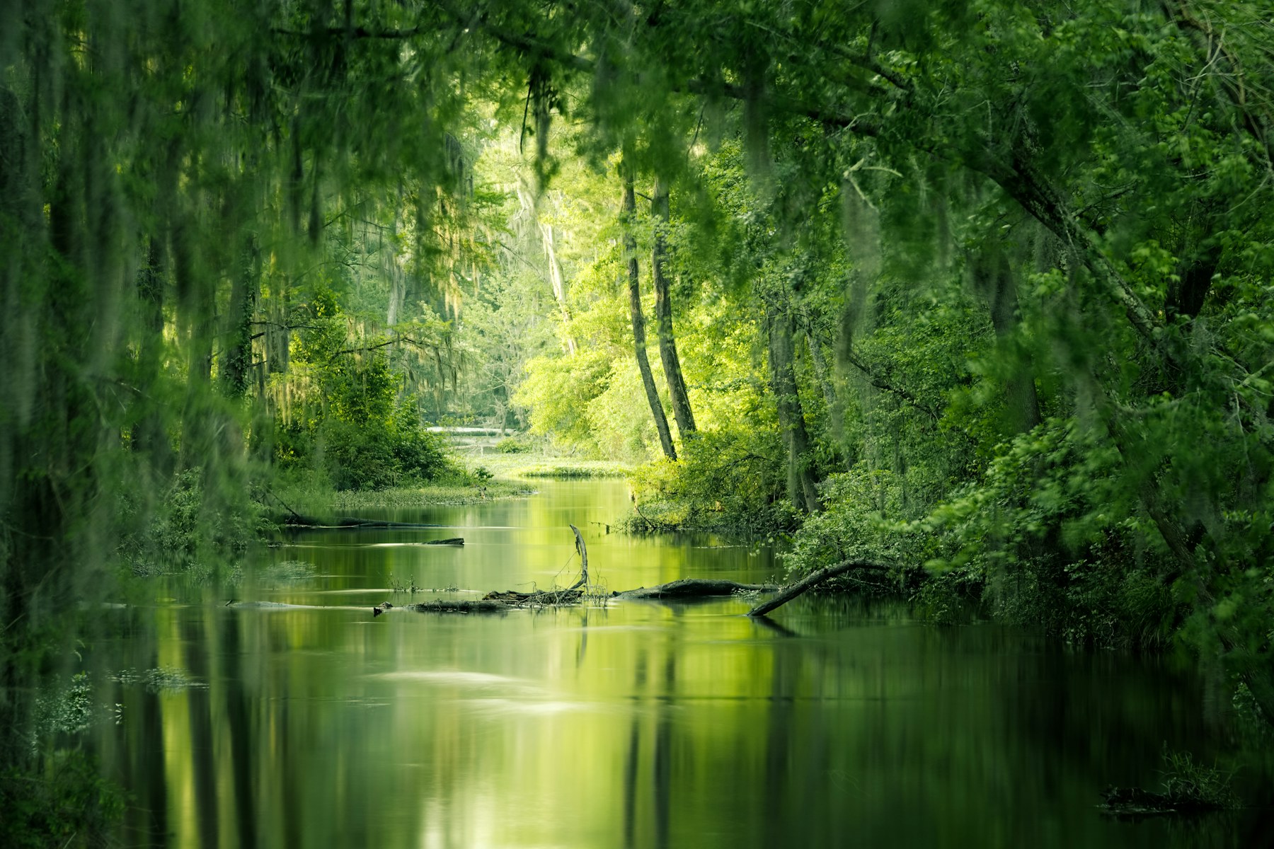
The site is a working stretch of Leaf River frontage that has sat undeveloped because of the flood plain. The City of Petal owns it. For decades it has produced almost nothing for the tax base.
The flood plain shapes the design. The concept is organized around flood-compatible elements: elevated structures, limited ground disturbance, native planting, stormwater features, and hydraulic review before final layout.
The Petal Idea
A named public botanical garden of south Mississippi natives at the center, canopy streets around it, and a walkable village edge facing the Leaf River — built on land the City of Petal already owns.
A curated, labeled, interpreted botanical garden of plants native to the Leaf River basin — pitcher plants, longleaf pine, bald cypress, tupelo, magnolia — a destination in its own right.
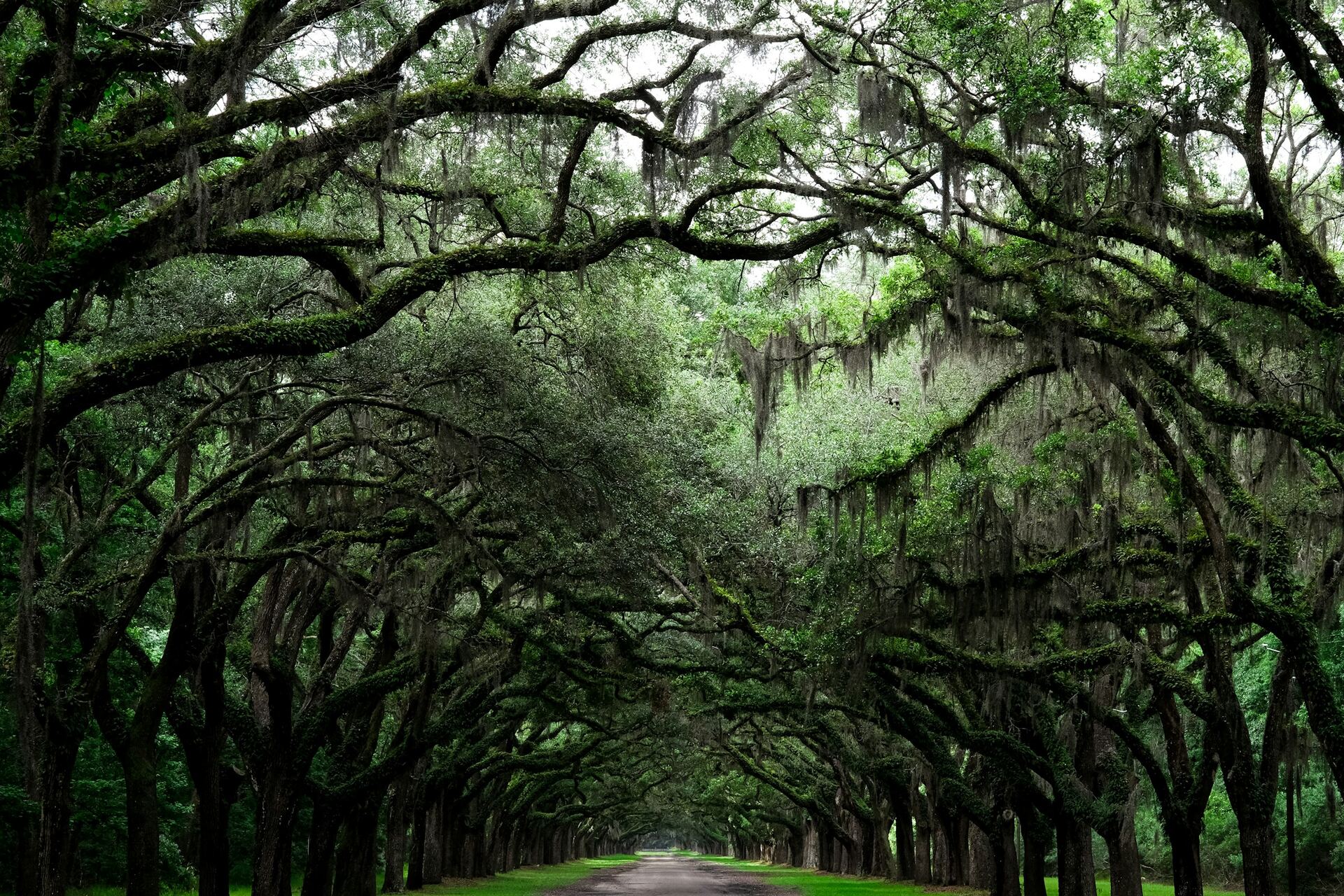
Live oak, southern magnolia, bald cypress, sweetgum — planted at construction and given the decades they need to close overhead.
A satellite office, a clinic, or a small commercial core — places to walk to on a Tuesday afternoon.
The Concept
Each piece works elsewhere. The land sits on the Leaf, already owned by the city.
At the center, a public botanical garden of plants native to the Leaf River basin: longleaf pine, magnolia, bald cypress, tupelo, live oak, and a bog exhibit of pitcher plants. Open to residents and visitors. The closest comparable, Crosby Arboretum, sits two hours south.
Residential streets could be planted on both sides at construction with native shade trees. Fifteen to twenty years to close overhead. Several degrees cooler in summer.
A small commercial core between garden and river. Coffee, a small grocery, professional services, possibly a clinic, possibly a satellite city office. Most homes within a five- to seven-minute walk.
Homes built to universal-design standards — wider doors, lever handles, curbless showers, a main-floor bedroom and bath, blocking in the walls so grab bars install in twenty minutes when needed. Homes elevated above the flood plain, reached by a residential platform lift. Sold to families, retirees, and anyone in between.
The Garden
A curated public garden anchors the property. Plants are chosen and labeled from the species already growing along the Leaf River basin. An interpretive path takes a visitor from the longleaf-pine uplands down through the magnolia and oak transition into the cypress and tupelo bottomland, ending at the river.
Crosby Arboretum in Picayune runs a hundred and four acres of native-plant exhibits affiliated with Mississippi State. Shangri La Botanical Gardens in Orange, Texas, runs two hundred and fifty-two acres on a cypress bayou, endowment-backed. Both operate today.
The Village
¼ mile
five to seven minutes on foot from any front door
A small walkable commercial core sits between the garden and the river — coffee in the morning, groceries on the way home, a doctor reachable without driving.
Most homes on the property would sit within a quarter-mile of the village center — a five-to-seven-minute walk. A walkable daily-services core could make the neighborhood more useful for older residents, families, and households that prefer shorter local trips.
Possible tenants
A satellite office of Forrest County or the City of Petal can serve as the civic anchor — the daily reason for residents and non-residents alike to come through.
The River Edge
A floating dock along the shore, carrying everything residents and visitors use the river for in one continuous line.
Parallel keeps the channel open for navigation and the river's visual line uninterrupted.
Building in the Flood Plain
A concept for elevated homes, shaded streets, a limited road footprint, flood-compatible landscape design, and practical warning systems — subject to engineering, floodplain review, and city policy choices.
The flood plain is one reason these seventy acres have remained difficult to develop. Any housing concept on the site begins with floodplain rules, hydraulic modeling, emergency access, and long-term maintenance, rather than treating those issues as afterthoughts.
Homes can be designed on piers or elevated foundations, with finished floors placed above the required flood elevation as determined by survey, engineering, and local floodplain review. The space below the living area would be limited to permitted uses such as parking, storage, access, or other flood-compatible functions.
Elevated homes can create access challenges for older adults, disabled residents, and families with small children. The concept anticipates residential platform lifts or small exterior elevators where appropriate. Any lift system would be selected, permitted, powered, and maintained under applicable residential lift and building-code requirements.
The site plan can be designed to reduce hard surface area and avoid unnecessary obstruction of flood flow. Possible tools include native deep-rooted plantings, bioswales, rain gardens, constructed wetland areas, permeable paving, and careful placement of roads, buildings, and utilities. Actual flood impact would be tested through no-rise or other required hydraulic modeling.
A community flood-warning layer can supplement public alerts by giving residents visible and audible notice when river conditions change — phone alerts, signage, tone alerts, and a village-center indicator tied to reliable river-stage information. The purpose is preparedness, not a substitute for code-compliant access, evacuation planning, or floodplain engineering.
Some elements of the concept may align with the NFIP Community Rating System — open-space preservation, stormwater management, flood warning, public information, and higher regulatory standards. Whether any of these measures would improve Petal's CRS score depends on citywide documentation, adopted policy, FEMA/ISO review, and the total number of credited activities.
Financing Precedent and Site Opportunity
In comparable public gardens, arboretums, riverfront parks, and mixed civic projects, several recurring financing and operating patterns appear: public capital, nonprofit stewardship, philanthropy, memberships, events, grants, sponsorships, and earned revenue. None is presented here as the selected mechanism for Petal.
The narrower point is that public gardens are not experimental civic assets. Communities have financed and operated them through many different combinations of public, private, nonprofit, and philanthropic support. For Petal, the same general pattern would have to be adapted to the site, scale, ownership structure, and public framework already in place.
Two local references frame the public side. HB 1649 authorized Hattiesburg, Petal, and Forrest County to establish the Leaf and Bouie River Development District along the Leaf and Bouie rivers. Public reporting at the time described the district as a way for the three governments to decide how much ad valorem revenue generated from the area could be reinvested into that area. The site sits in that geography. Whether any district-eligible infrastructure — access, parking, riverfront improvements, trails, flood-compatible public improvements — has a role here is a question for the City of Petal, Forrest County, and the district documents.
The site may also offer a second layer that many gardens do not have at the outset: room for a small residential community adjacent to the garden. If practical after site planning and floodplain review, housing could help make the project more complete by adding private investment, daily activity, neighborhood identity, and a built-in constituency for the garden.
The housing concept is preliminary. A working assumption might be in the range of roughly forty homes, but the real number depends on elevation requirements, roads or elevated access, utilities, stormwater design, emergency access, open-space preservation, and the final garden footprint.
Viewed that way, the concept is broader than a stand-alone botanical garden. It becomes a possible flood-resilient garden neighborhood: public garden, discovery destination, river access, and a carefully designed residential edge.
Comparable Projects
The concept combines elements that are usually seen separately: a public native-plant garden, riverfront access, flood-resilient housing, and a walkable village edge. The four projects below show pieces of that combination at work elsewhere.
Regina, Saskatchewan
A public park and named formal gardens at the center of a prairie capital, with canopy-covered residential neighborhoods radiating outward. Five hundred thousand hand-planted trees, civic and residential life organized around the garden.
Civic gardens at city scale
Picayune, Mississippi
One hundred and four acres of native-plant exhibits affiliated with Mississippi State University. Two hours south of Petal.
Native-plant garden, regional draw
Orange, Texas
Two hundred and fifty-two acres on a cypress bayou similar to the Leaf River corridor. Riverfront boat tours, cypress and tupelo collections, endowment-backed.
Cypress-bayou gardens + endowment model
Nassau County, Florida
A current master-planned community organized around a botanical identity, with a walkable village center, conservation lands, and homes set into the landscape.
Master plan with garden identity
All four are operating today.
Why It Fits Petal
Seventy acres of flood-plain frontage produce almost no ad valorem revenue today. Any development on the corridor — whatever the final mix — would broaden the tax base reaching the schools, the county, and the city. Actual figures depend on housing count, assessed value, exemptions, district participation, and public costs, and would be modeled separately.
A no-rise floodplain design and the broader stormwater work may align with categories the National Flood Insurance Program credits through its Community Rating System. Whether that translates into premium discounts depends on Petal's citywide CRS documentation, adopted policy, and FEMA/ISO review.
Crosby Arboretum, the closest comparable, sits two hours south. A botanical garden in Petal could become a regional draw for the Pine Belt, particularly if paired with river access, children's programming, native-plant exhibits, and public events.
The old East Hardy Street Bridge is being converted to walking and biking under the Leaf and Bouie Redevelopment District. The bridge lands at the south end of downtown Petal, a short walk from the property — making the Gardens a natural destination at the Petal end of a regional pedestrian corridor.
Universal-design homes that work for young families, empty nesters, multi-generational households, and aging-in-place.
Predevelopment scope, civic engagement, and engineering work are all in early stages. We welcome questions, partnerships, and serious technical critique.
Get in touch